Hyperspectral Systems

Large-Scale, High-Resolution Environmental & Resource Monitoring
Airborne hyperspectral imaging systems are mounted on drones, aircraft, or UAVs, enabling wide-area spectral mapping with high spatial and spectral resolution. This makes them a powerful alternative to satellite-based sensors, with the benefit of custom flight paths, higher revisit rates, and finer detail.
Key Advantage: Airborne hyperspectral systems deliver high-resolution spectral data over large areas, bridging the gap between ground-based detail and satellite-scale coverage, making them indispensable for research, industry, and government monitoring programs.
Example Applications
Agriculture & Precision Farming
● Monitoring crop growth, stress, and disease at field-to-regional scale
● Identifying nutrient deficiencies for site-specific fertilizer application
● Yield prediction and precision irrigation management
Geology & Mineral Exploration
● Regional mineral mapping for exploration projects
● Identifying alteration zones and ore deposits from airborne surveys
● Differentiating soil / rock types across inaccessible terrains
Forestry & Ecology
● Forest health assessment, biomass estimation, and carbon stock evaluation
● Species-level vegetation classification
● Detecting invasive species and forest degradation
Water Resources & Coastal Monitoring
● Mapping turbidity, chlorophyll, and suspended solids in lakes, rivers, and coastal zones
● Monitoring algal blooms and water quality over large water bodies
● Wetland ecosystem assessment and conservation planning
Disaster Management
● Rapid damage assessment after floods, wildfires, or landslides
● Detecting oil spills and chemical leaks in coastal / marine regions
Urban & Infrastructure Studies
● Monitoring urban heat islands and land-use changes
● Detecting roofing materials, cracks, or deterioration in large-scale civil infrastructure
● Smart city planning with spectral mapping of roads, vegetation, and construction zones
* Choose the Hyperspectral Camera model
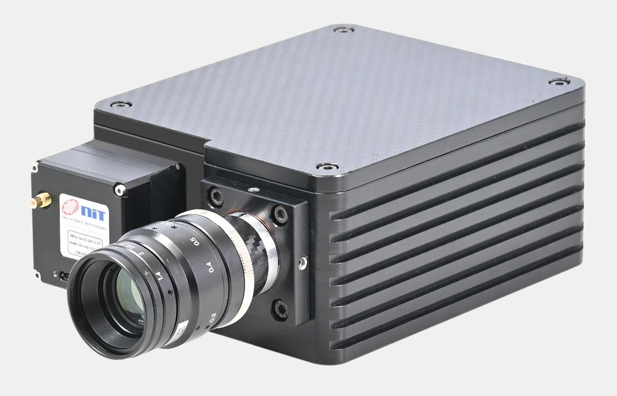
Model : UV-HIC200G
Wavelength Range 200-400nm
Model : VIS-HIC400G
Wavelength Range 400-800nm
Model : VIS-HIC550P
Wavelength Range 400-950nm
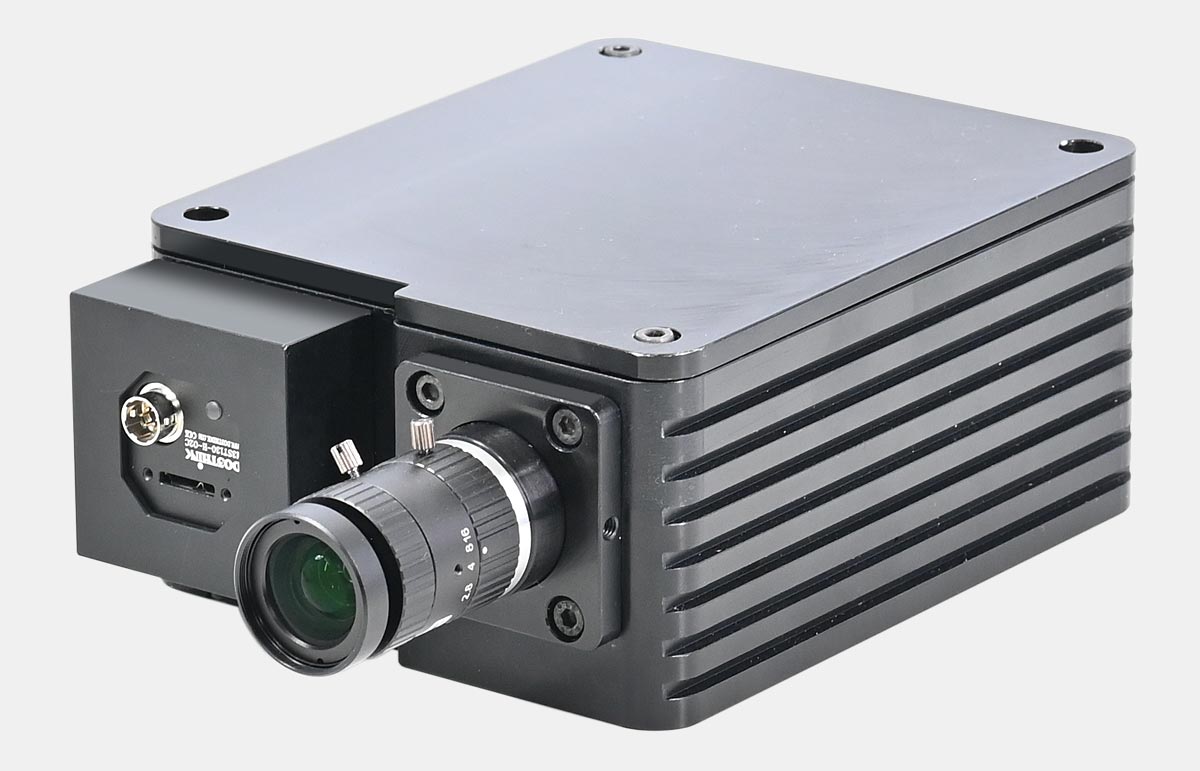
Model : SWIR-HIC800G
Wavelength Range 900-1700nm
Model : VIS-SWIR-HIC1300P
Wavelength Range 400-1700nm
Established in 1993, Holmarc Opto-Mechatronics Ltd manufactures variety of scientific and engineering instruments for research, industry and education.
ISO 9001:2015 Made in INDIA
CIN : L33125KL1993PLC006984
GST No : 32AAACH9492C1ZQ
Navigation
Get in Touch
B.7., H.M.T. Industrial Estate
H.M.T. P.O, Kalamassery, Kochi
Kerala, India - 683 503
+91 920-719-7772 / 6 / 1
sales@holmarc.com
Mon - Sat : 9 am to 5 pm
Investor Zone # Online Dispute Resolution